
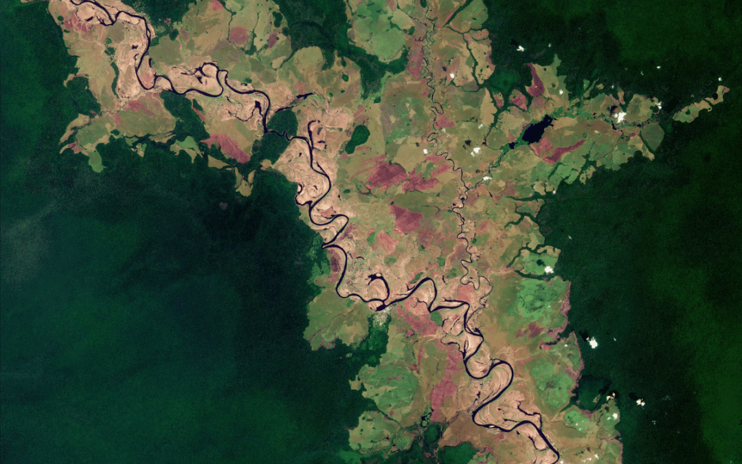
Imagine monitoring your entire rewilding area from the comfort of your home, using nothing but a computer, free cloud software, and free data. Openly accessible tools are bringing this closer to reality than you might think.
In recent years, satellite remote sensing (SRS) has become better, cheaper, and easier to use, making it more useful than ever for rewilding organisations. To help its network make the most of this technology, the Global Rewilding Alliance is publishing a new guide for rewilding practitioners, “Leveraging Space for Rewilding: How Satellite Remote Sensing Is Unlocking New Possibilities for Rewilding Success”, authored by Antoine Trabia. Drawing on insights from both the literature and discussions with rewilding practitioners and SRS experts, this accessible handbook will help you understand what the technology is; how it works; its main strengths, limitations, and applications; what it can contribute to your work, illustrated through concrete case studies; and how you can get started using it.
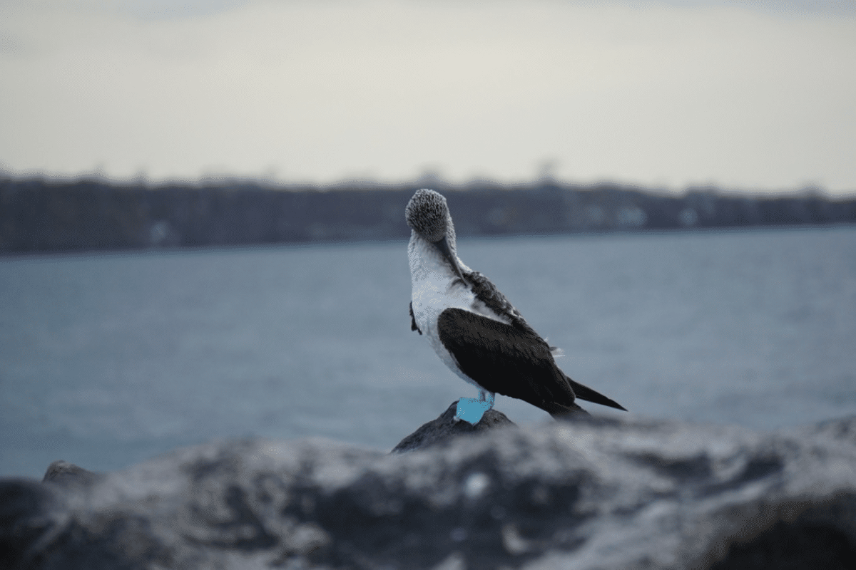
Satellite Remote Sensing Is Better, Cheaper, Easier Than Ever Before
In 1972, NASA launched Landsat 1, the first satellite mission dedicated to monitoring Earth’s land surfaces. It captured about 147 images per day at 80m resolution, in 4 spectral bands, distinguishing 64 levels of brightness, and revisited each location every 18 days. Nearly half a century later, NASA launched Landsat 9, capturing over 700 images per day at 30m resolution, in 11 spectral bands, distinguishing 16,384 levels of brightness, and, working in tandem with Landsat 8, revisiting each location every 8 days. Beyond Landsat, the European Space Agency’s (ESA) Sentinel-2 offers data at 10m resolution, revisiting each location every 5 days.
At the same time as the data has improved, it has become far cheaper and more accessible. In the 1980s–90s, a single Landsat image could cost up to US$4,000. Today, vast amounts of high-quality data, including the Landsat and Sentinel datasets, are freely and openly available to the public.
Furthermore, this better and cheaper data is now easier to find and use. Cloud platforms such as Google Earth Engine are removing hardware limitations and making analysis more accessible. Meanwhile, ready-made data products designed for non-experts, and platforms such as restor.eco that automate site-level analysis at the click of a button, are greatly reducing the need for much of the technical satellite data work.
Combined with advances in AI, which are transforming how SRS data can be analysed, these developments are strengthening established applications and enabling new ones. As a result, SRS has become far more relevant and practical for rewilding organisations than ever before. This growing relevance is reflected in international guidance: in 2025, the IUCN Guidelines for Rewilding recommended the implementation of monitoring frameworks that use remote sensing technologies, such as SRS.

What Are the Strengths and Limitations of SRS?
SRS is a cost-effective and automatable data collection method that provides global and historical coverage at multiple spatial scales, and supports credible and reproducible analysis. On the other hand, it often depends on ground-truthing; is subject to data gaps, technical constraints, and cost variability; and may poorly represent, or entirely miss, certain key ecological attributes. By presenting these strengths and limitations, the guide helps practitioners set realistic expectations and focus their resources where the technology is best suited and can make the greatest difference.
Applications and Use Cases
SRS can be used to map habitat types and extent; measure ecosystem condition in terms of structure, composition, and function; monitor disturbances and threats such as fire, human activities, pollution, climate change, and floods; and even detect individual species and animals. The guide explains these applications and shows how they can support rewilding in three main ways:
- Informing rewilding – before rewilding, investigating where rewilding is both feasible and impactful, and which forms of rewilding will work in a given place; during rewilding, monitoring ecological change to assess progress and adapt management; and beyond rewilding, assessing connectivity and identifying wildlife corridors.
- Communicating rewilding – equipping practitioners with credible, independently verifiable evidence to measure and communicate the impact of their actions, address the fears and uncertainties of different stakeholders, and justify the need for and suitability of rewilding in specific areas, building trust with local communities, policymakers, and funders.
- Financing rewilding – helping practitioners meet the evidence requirements of carbon markets and other outcome-based funding, where remote sensing is already widely used by project developers and increasingly by credit buyers, rating agencies, insurers, and other third parties to assess project quality.
The guide illustrates these uses through concrete case studies, where SRS was used to map Vienna’s potential for urban rewilding, identify land that may become available for rewilding across Europe, assess the suitability of different rewilding approaches across three Rewilding Portugal sites, compare the outcomes of active and passive management in Romania’s Făgăraș Mountains and Scotland’s Alladale Wilderness Reserve, quantify the impact of 20 years of rewilding on the Knepp Estate in England, and identify wildlife corridors in Tanzania and prioritise them for protection and restoration.
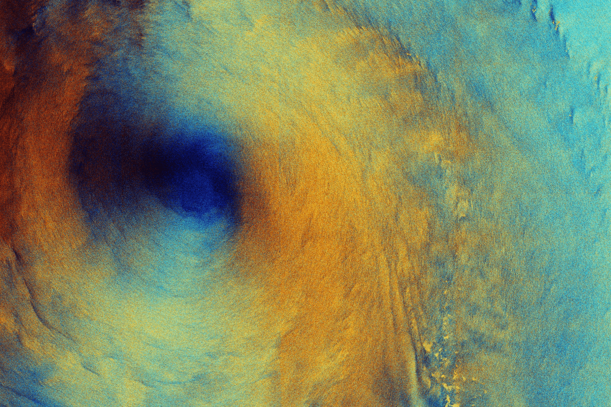
Getting Started
The guide outlines three pathways to start benefiting from SRS: doing it yourself, whether through automated platforms, ready-to-use data products, or upskilling existing staff; collaborating with external experts, such as researchers or space agencies; and hiring dedicated talent. Within these pathways, the guide points to free, practical resources you can start using right away, including online courses from NASA and EO College, and an authoritative, comprehensive, open-access textbook that can help anyone become proficient with Google Earth Engine, one of the leading cloud computing platforms for SRS.
What About AI?
AI, and deep learning in particular, is rapidly expanding what SRS can offer rewilding. The guide introduces this fast-evolving frontier and points to further reading and a free online course for those wishing to dive deeper.
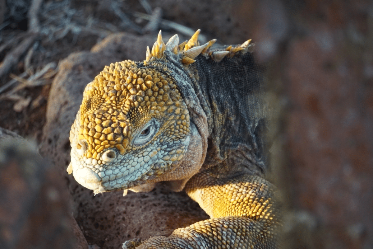
SRS is not intended to replace traditional data collection methods, but rather to complement them and unlock new possibilities.
Conclusion
However familiar you are with satellite remote sensing, this concise, accessible guide will help you build or deepen your understanding, and give you free, practical steps you can take at your own pace to start putting what you’ve learned into practice.
Read the full guide, “Leveraging Space for Rewilding”, here.

About the author, Antoine Trabia
Antoine Trabia is a physicist turned sustainability specialist committed to advancing nature restoration. He holds a BSc in Physics from EPFL and a joint MSc in Sustainable Management and Technology from EPFL, IMD, and HEC Lausanne. In his master’s thesis, he reviewed how satellite data can quantify the impact of economic activities on nature; applied these methods, alongside his own automated algorithm for building control areas, to attribute roughly 30 km² of vegetation loss to a gold mine in Brazil, all from his desk in Switzerland; and set out a step-by-step protocol to help practitioners do the same. With this new Global Rewilding Alliance guide, he shows how the same tools he used to measure nature’s loss can be used to support its recovery.