

This briefing paper aims to clarify and elevate the role of wood-based materials and regenerative forestry in a circular economy. As users of wood-based materials, the co-project participants evaluate current forestry practices and the opportunities of regenerative forestry for nature, the economy, and society.
How Satellite Remote Sensing Is Unlocking New Possibilities for Rewilding Success, a new guide for practitioners
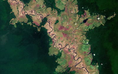
This Copernicus Sentinel-2 image captures the meandering course of the Likouala-aux-Herbes river in the Republic of the Congo. Credit: contains modified Copernicus Sentinel data (2025), processed by ESA.In recent years, satellite remote sensing (SRS) has become...